
Search Upper St. Clair Streets
The most reliable Upper St. Clair street directory path begins in the free Allegheny County Real Estate Portal. It is an address and parcel tool, not a countywide name index. A selected result can lead to assessment, tax, building, owner-history, appeal, and property-line-map categories. The parcel number is the useful handoff between the property screen, the GIS Viewer, a Property Record Card, and a deed or plan request. Keeping that identifier beside the street address reduces the chance of mixing up similar road names or nearby parcels.
- Enter the known house number and the street name in the County Real Estate Portal. Leave the street suffix off the name.
- Select Upper St. Clair in the optional municipality field when a street name needs narrowing, then inspect the candidate list before choosing a parcel.
- Record the situs address and parcel ID. Use the GIS Viewer to see the parcel boundary, nearby roads, and public map layers.
- For title history, carry the address, parcel, plan, or party clue to the Division of Real Estate document route or its Room 101 counter.
- For an older address association, ask the library, Historical Society, or regional reference staff about a named road and period. Do not assume an online reverse directory covers the Township.
That sequence separates address evidence from ownership, title, and historical context. It also keeps a street-by-street search from turning a parcel map into a claim about a whole household. A street directory result should be read as the first documented step, not the end of the inquiry.
Enter Upper St. Clair Streets
Allegheny County documents two free starting modes: address and parcel number. The address route is forgiving when only the road is known because a street-name search can return candidates. A unit number, a changed address format, or a previously located parcel can make the 16-digit parcel route more useful. The County specifically instructs users not to add a suffix such as Drive, Circle, or Street to the street-name field.
| Portal field | Use for a street search | Format or limit |
|---|---|---|
| Search by Address | Open the public address route | Choose this mode unless a parcel ID is known. |
| House Number | Target one property on a road | Enter the numeric number when it is known. |
| Street Name | Find candidate street addresses | Leave off Dr., Cir., Street, and similar suffixes. |
| Municipality | Narrow a common street name | Optional. Select Upper St. Clair when appropriate. |
| Search by Parcel Number | Return to a known parcel | County assessment material uses a 16-digit identifier. |
The County’s free address route is separate from its subscription real-estate access information. The screen capture below is a useful reminder that an address search and a name search are different access levels.
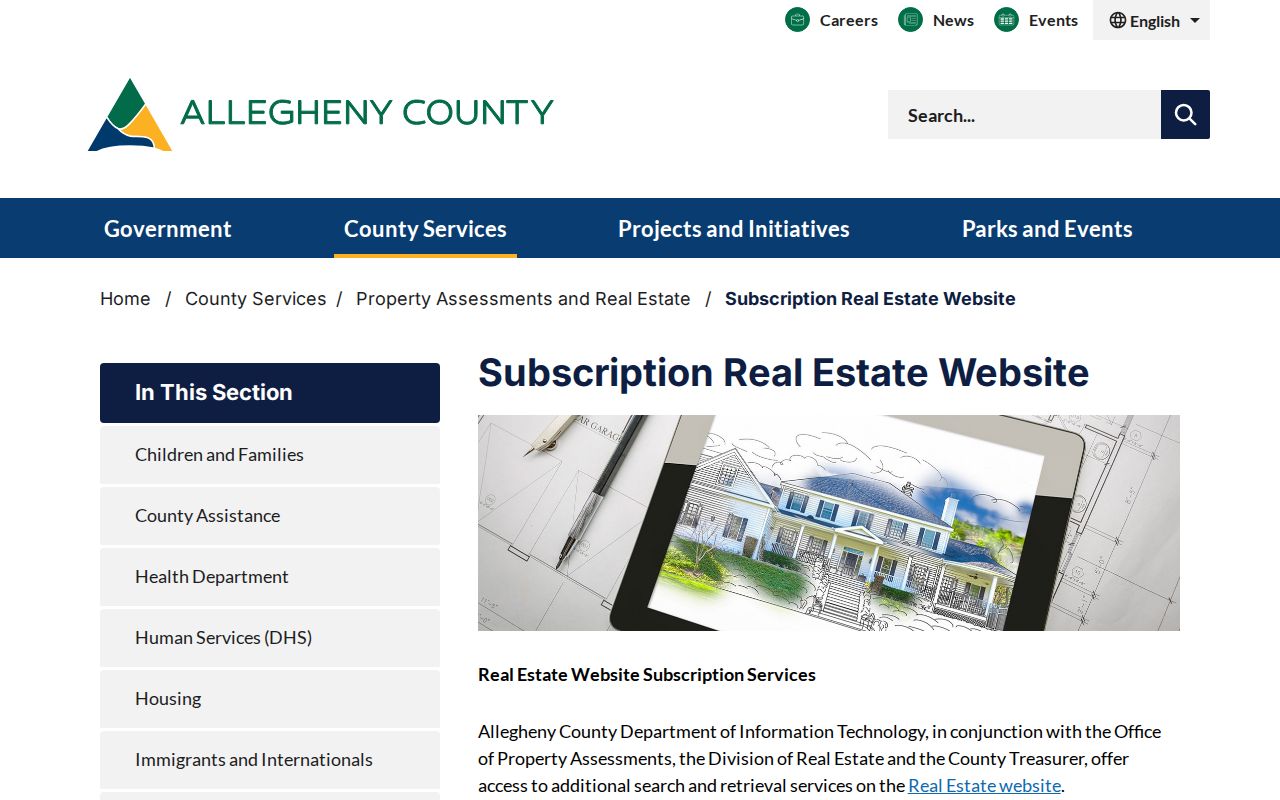
The County’s subscription information confirms that owner-name searching, legal-description retrieval, and added tax detail are not part of the ordinary free address form. Registration is listed at $100, followed by $50 monthly service and hourly use charges, so a free street result should never be described as a free owner-name lookup.
Three Upper St. Clair Parcel Addresses
A parcel can carry more than one address field. The Office of Property Assessments distinguishes where land is located from where assessment notices and tax bills are sent. That distinction matters on Upper St. Clair streets because an address beside an owner’s name may be a correspondence destination rather than a current dwelling.
- Physical property location, or situs
- The location of the parcel itself. It is the best starting point for a street and map search.
- Owner mailing address
- The address used for assessment-change and appeal notices. It can be outside the parcel.
- Tax mailing address
- The address used for tax-bill delivery. It can differ when a lender or other payor handles taxes.
- Legal description
- The plan, lot, tract, or bearings language in a land record. It can outlast a changed street or postal label.
County guidance says owners can update mailing details by phone, contact form, or LandHelp@AlleghenyCounty.US. A mailing field can be a useful follow-up clue, but it is not proof of present occupancy or a full list of people connected with the property.
Map Upper St. Clair Streets in GIS
The Allegheny County GIS Viewer is the spatial companion to the property portal. The County verifies address search, parcel display, pan and zoom, public layer controls, parcel information, measuring, printing, and basemap changes. Start at one address, select its parcel, then pan along the road one parcel at a time. Map labels establish geometry and context. Assessment and recorded-document sources establish the record trail.
The County’s GIS information page describes the Viewer and its available controls.
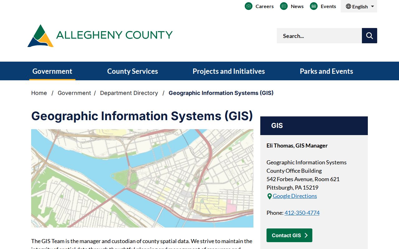
Use the measure tool only for the displayed map question, such as a visible parcel edge or road distance. For an Upper St. Clair street directory question, GIS identifies geometry before the property portal or records counter supplies the record detail. The County did not document a radius search, a buffer function, an all-layer catalog, or a neighbor roster in the reviewed source, so none should be assumed.
Upper St. Clair Street Records by Source
Address-keyed sources become more useful when their limits are kept visible. The property record ties a street location to a parcel. GIS adds the map context. Deeds and plans explain title and legal-description history. Township files may document a retained project or inspection record, but no public Township permit-search portal was verified.
| Address record | Custodian | Street-level value | Access boundary |
|---|---|---|---|
| Assessment and parcel record | Office of Property Assessments | Parcel ID, address fields, assessment, tax, building, and owner-history categories | Free address or parcel search; no free owner-name route. |
| GIS map | Allegheny County GIS | Parcel display, map layers, location, measurements, and printable map | Map context, not a household record. |
| Deed, mortgage, or plan | Division of Real Estate | Recorded parties, legal description, plan or lot clues, and recording reference | Public portal or copy-counter route; web fields and coverage were not fully exposed. |
| Property Record Card | Office of Property Assessments | Additional assessor detail beyond the public website | County FAQ routes requests to LandHelp or the copy desk. |
| Township record | Upper St. Clair Township AORO | Existing retained permit, plan, inspection, meeting, or historical material | Targeted RTKL request; exemptions and redactions can apply. |
The same parcel ID can connect several of these channels. A street directory record needs that link because a street name alone cannot reliably do the work for an early deed, where a plan, lot, tract, or former road may be the only durable location clue.
County Help for Upper St. Clair Streets
When the public property display is thin, the County FAQ directs researchers to a Property Record Card. The research records two documented options: an email request through LandHelp@AlleghenyCounty.US or a printed copy at 25 cents per page from the copy desk. For recorded documents, the Division of Real Estate is in the County Office Building, Room 101, 542 Forbes Avenue, Pittsburgh, PA 15219. Its listed weekday counter hours are 8:30 a.m. to 4:30 p.m., and deed or plan-copy questions use 412-350-4224.
The County’s recording documents guide identifies the recording office’s document and counter functions.
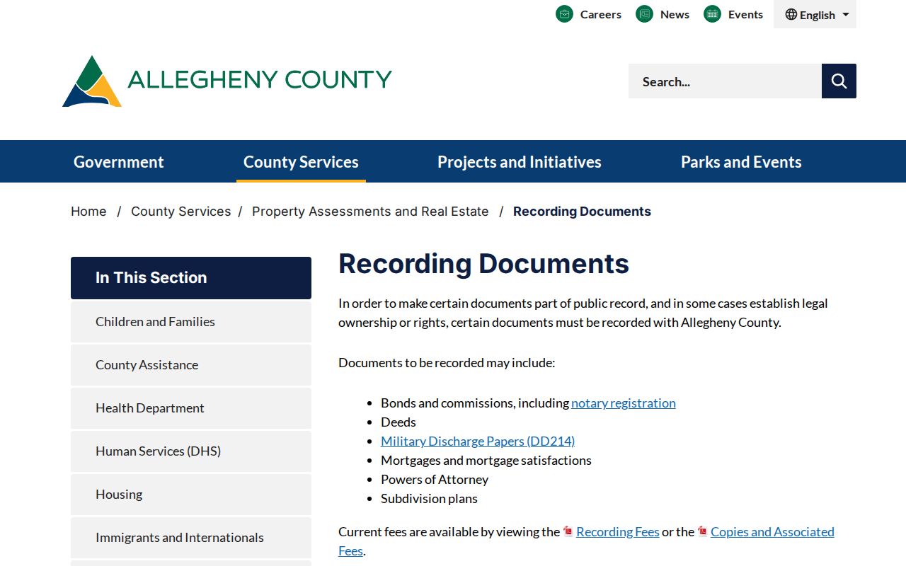
Bring the street address, parcel number, and any known deed-book, plan, or party reference. The public document portal showed only general Search and Results headings during research, so its filters, image access, and online starting date should be confirmed before a trip is planned around them.
Trace Upper St. Clair Streets Through Deeds
A deed trail begins with the current parcel, then works backwards through the named parties. A grantor is the person transferring property. A grantee is the person receiving it. From a known deed, record the grantor, grantee, recording reference, date, legal description, and any plan or lot language. The prior grantor can then become the next person to find as a grantee in an earlier transaction.
The Allegheny County public document portal is the modern county entry point. For the historic layer, the Pennsylvania State Archives guide lists Allegheny grantor and grantee indexes from 1788 through 1904. Those Direct and Adsectum books are finding aids to deed-book references, not a promise that every old deed image is freely online.
This 116-year index sequence is especially helpful when a modern Upper St. Clair street address disappears from older documents. Search the plan, tract, former farm, historic road, or broader St. Clair Township geography alongside the current parcel trail.
Request Upper St. Clair Address Files Carefully
The Township is a home-rule township, so a municipal record request goes through its Agency Open Records Officer rather than a city clerk. The verified contact is Matthew R. Serakowski at 1820 McLaughlin Run Road, Upper St. Clair, PA 15241, main phone 412-831-9000. A targeted request can ask for an existing permit, inspection, plan, certificate, enforcement file, meeting material, or historic record tied to a street address and date range.
The Pennsylvania Office of Open Records maintains the Upper St. Clair AORO listing.
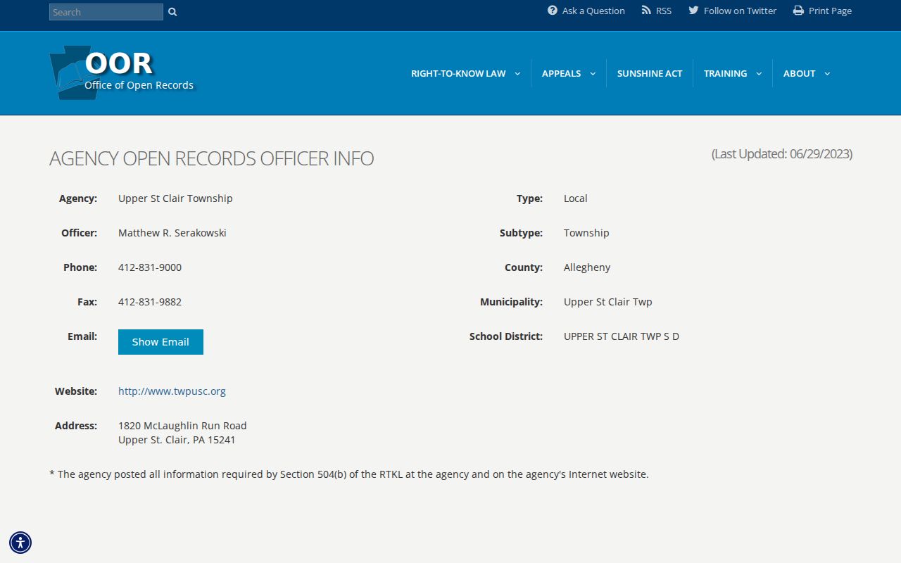
State law gives an agency five business days for a normal RTKL response, subject to the documented interim-response process. No public searchable Township permit or code-case portal was verified. A precise request for retained records is the supported route, and a released file may identify a project or applicant without proving who lived at the address.
Historic Upper St. Clair Street Evidence
Upper St. Clair’s older address trail is shaped by changing geography. The broader St. Clair Township was divided over time, and early records can be filed under St. Clair Township, a historic road, a farm, a plan, or an adjacent municipality. No Township-wide street-renumbering year was verified. That gap is important: a changed-looking address should be investigated through legal descriptions and local maps, not by assigning an unsupported conversion year.
Historic Pittsburgh’s digitized metropolitan directories cover 1837 to 1930 with gaps, but the research does not verify a particular Upper St. Clair road in every volume or a local criss-cross run. A historic street directory search needs a named road and period. Ask the Township Library, Carnegie Library’s Pennsylvania Department, or Heinz reference staff for that combination. The Historical Society of Upper St. Clair can add road, house, farm, photograph, map, oral-history, and family-paper context without turning those sources into a current address roster.
Upper St. Clair Street Copy Limits
Fees and access rules depend on the custodian and record. The state Right-to-Know fee schedule notes that a Recorder of Deeds may charge 50 cents per uncertified page and $1.50 per certified page under 42 Pa.C.S. § 21051. The County advises checking its current recording and copy fee materials before ordering because charges can change. A request should identify the street, parcel, date range, document type, and preferred format rather than asking an office to create a new directory.
The official RTKL fee schedule is the state source for the cited rules.
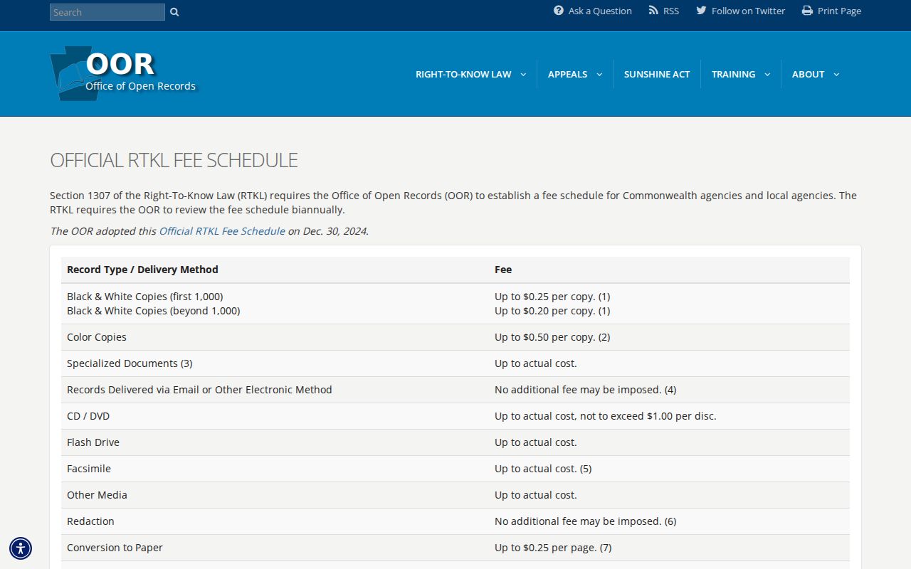
Paper copies, electronic records, redactions, and record-specific statutes can affect a final charge. The RTKL does not require an agency to create a record that does not exist or disclose an exempt portion of a record.
Upper St. Clair Street Directory Limits
Street records are selective. A parcel result is strongest for assessed ownership, formal mailing details, and land-record context. It does not identify every relative, visitor, or other person associated with a dwelling. Utility, delivery, medical, school, motor-vehicle, banking, and private communications records are not ordinary public address material. A protected participant may use a substitute address through Pennsylvania’s Address Confidentiality Program.
A missing web result also has several possible explanations. The record may be outside online coverage, protected, sealed, redacted, destroyed under a retention schedule, or filed under a variant name or older geographic description. Confirm a consequential result with the office that holds it.
Lawful personal use. Use Upper St. Clair street and parcel records for personal research, family history, property questions, civic transparency, or safety-aware verification. Pennsylvania stalking and harassment laws still apply to public information. Do not use an address record to watch, threaten, harass, or intimidate another person.