
Upper St. Clair Neighbor Sources by Block
For a block question, parcel adjacency is the supported starting point. Allegheny County’s map and property systems can establish which parcels are next to a selected parcel, while local archives can place a road, school, farm, or organization in historical context. A voter-status check belongs to the individual voter, and Pennsylvania’s public voter-list process has a written permitted-use certification. Neither source creates a casual block directory.
| Block source | What it can establish | Access and boundary |
|---|---|---|
| Allegheny County GIS Viewer | Parcel geometry, public map layers, parcel display, and distance measurement | Free Viewer route. A map is not a household roster. |
| County Real Estate Portal | One parcel’s assessment, tax, building, owner-history, and map-linked categories | Free by address or parcel. An owner mailing field can differ from the situs. |
| Office of Property Assessments / Real Estate | Property Record Cards, property maps, and adjacent-property maps | Email or counter route. Check the current copy process and fee. |
| Pennsylvania voter records | An individual’s status route or a regulated public-information-list process | Not a browse-by-block tool. Election-law certification applies to the full list. |
| Library and Historical Society | Roads, houses, organizations, maps, and family or community history | Reference request by a named place and period. It does not prove current identity. |
Ownership, mailing, and residency are different facts. The official parcel record can confirm a formal property relationship. It cannot reliably identify every person associated with a dwelling, and a visible boundary does not create a social relationship between Upper St. Clair neighbors. Adjacent parcels can be neighbors on a map without identifying a community or household connection.
Map Upper St. Clair Block Parcels
Use the County GIS Viewer first, then verify every surrounding parcel separately in the Real Estate Portal. This process relies on the controls the County actually describes: address search, parcel information, pan and zoom, public layer toggles, measuring, printing, and basemap changes. It does not presume a radius search, a buffer tool, a mailing-list export, or an automatic neighbor table.
- Search the known Upper St. Clair address in the GIS Viewer and select the target parcel.
- Pan and zoom to the parcels that touch it or are relevant to the boundary question. Turn on only the public layers needed for that question.
- Record each adjacent parcel ID and the physical situs. A measurement can describe a displayed distance, but it does not identify people.
- Enter each parcel ID or address separately in the County Real Estate Portal. Read the owner, tax, building, and address fields as property-record data.
- For a whole named road, use the fuller Upper St. Clair street walkthrough rather than treating a single-block map as a complete street search.
Separating the map stage from the record stage is practical. It preserves a clear trail from physical boundary to the particular county record that supports each finding. That distinction keeps an Upper St. Clair neighbors search focused on a documented parcel question.
GIS Controls for Upper St. Clair Neighbors
The County lists address search, parcel display, layers, measurement, printing, and basemap selection on its GIS information route. A user can pan along a block, select a parcel, and print the resulting public map for a property-boundary question. The Viewer provides spatial context. The assessment record or a document copy is still needed for the details tied to a single parcel.
Use the Allegheny County GIS page to reach the verified Viewer route. The reviewed source did not provide a historic online cutoff, full map-attribute inventory, all-layer menu, or export description. Recheck any control that matters to a current request.
Check Each Upper St. Clair Parcel Individually
The Real Estate Portal is free for an address or parcel-number search. Its public address form uses a house number, a street name without a suffix, and an optional municipality. Select Upper St. Clair when a common street needs narrowing. The County says the resulting property material can include assessment and tax information, building information, owner history, comparables, appeal status, and property-line maps.
A county parcel can have three address fields: physical property location, owner mailing, and tax mailing. The last two may be different from the situs, including when tax correspondence goes through a lender. Treat a mailing address as a contact or records clue, not confirmation that the named person is present at the property. Owner-name searching and legal-description retrieval are subscription features, not a free public name-search field.
Upper St. Clair Boundary Maps
For a documented adjacent-property map or more assessor detail, the Office of Property Assessments and Division of Real Estate provide a counter complement to the web screens. The research identifies County Office Building Room 101, 542 Forbes Avenue, Pittsburgh, PA 15219, for the Real Estate Department and Room 347 for Property Assessments. The Office of Property Assessments FAQ also points to LandHelp@AlleghenyCounty.US for a Property Record Card and states a 25-cent printed-page option at the copy desk.
Bring the target address, parcel ID, and a narrow request. The county material supports maps of properties and adjacent properties, not a named roster for a block. Confirm counter hours, fees, and the best division before traveling.
Upper St. Clair Block Voter Rules
Pennsylvania’s voter-status service is designed for an individual to check registration status. The state also directs voters to the county registration office or 1-877-VOTESPA. The official page did not expose the underlying form labels during research, so no field list should be reconstructed from guesswork. A status result or no-result is not a way to establish the makeup of a block.
The separate public-information-list procedure is governed by 25 Pa.C.S. §§ 1207(b), 1404(c)(2), and 1404.0. A requester must identify themselves and make a written statement that information will not be used for purposes unrelated to elections, political activities, or law enforcement. The official full export is listed at $20 and has defined fields, but its statutory certification means it should not be converted into a neighbor product or republished as a block roster.
| Personal status route | Official statewide form, county office, or 1-877-VOTESPA. |
|---|---|
| Public list route | County or state procedure with requester identification and permitted-use certification. |
| What voting history means | Participation in elections, not ballot choices. |
| Upper St. Clair geography | Allegheny County is the county scope for an official request. |
Upper St. Clair Community Records
The verified community layer is archival and civic, not a current association directory. Research confirmed the Township Library, Historical Society of Upper St. Clair, Township government, Upper St. Clair School District, and a Community Foundation calendar. It did not confirm an official umbrella HOA directory, a neighborhood-association contact list, or a membership roster. The accurate approach is to request context by a specific road, plan, subdivision, school, organization, or time period.
| Verified resource | Useful block context | How to use it |
|---|---|---|
| Upper St. Clair Township Library | Catalog help, interlibrary access, and FamilySearch affiliate access | Ask with a surname, named road or plan, time window, and record format. |
| Historical Society of Upper St. Clair | Photos, maps, papers, oral histories, clippings, and organization documentation | Search or inquire by historic farm, road, school, family, or civic group. |
| Historic Pittsburgh / regional reference desks | Metropolitan city-directory coverage and reference assistance | Check the volume’s geography before treating an entry as Upper St. Clair evidence. |
| Community Foundation calendar | Public events and venues | Use for public community context, not household identification. |
The Historical Society’s online collection documents the Township’s agricultural-to-suburban transition through families, roads, schools, houses, landmarks, maps, and papers. That history can translate an old road or farm reference into a better parcel-research question without asserting that a present household is connected to it.
Official Records and Compiled Neighbor Tools
Official sources and compiled commercial sources answer different questions and carry different risks. A county map or property record identifies its custodian and scope. A compiled result may combine old and new material from multiple sources, and a similar name or stale address can be wrong. For an address question, return to the county record, the records counter, or the historical repository instead of relying on a compiled profile.
| Source category | Strength | Limit to remember |
|---|---|---|
| County GIS and parcel records | Direct route to a mapped parcel and county assessment categories | Does not establish every person at that location. |
| Recorded documents and copy desk | Custodian-held land and plan records with a traceable source | Some records have access limits, fees, or redactions. |
| Local archive and library | Historical roads, maps, organization material, and local context | Not evidence of present identity. |
| Compiled commercial data | May surface an old lead to verify independently | Can be stale, conflated, incomplete, or mismatched. Use its privacy-removal process if needed. |
The Pennsylvania Department of State’s record-search guidance shows the same principle in another setting: a business filing search requires an exact entity name or file number and is not a resident-address search.
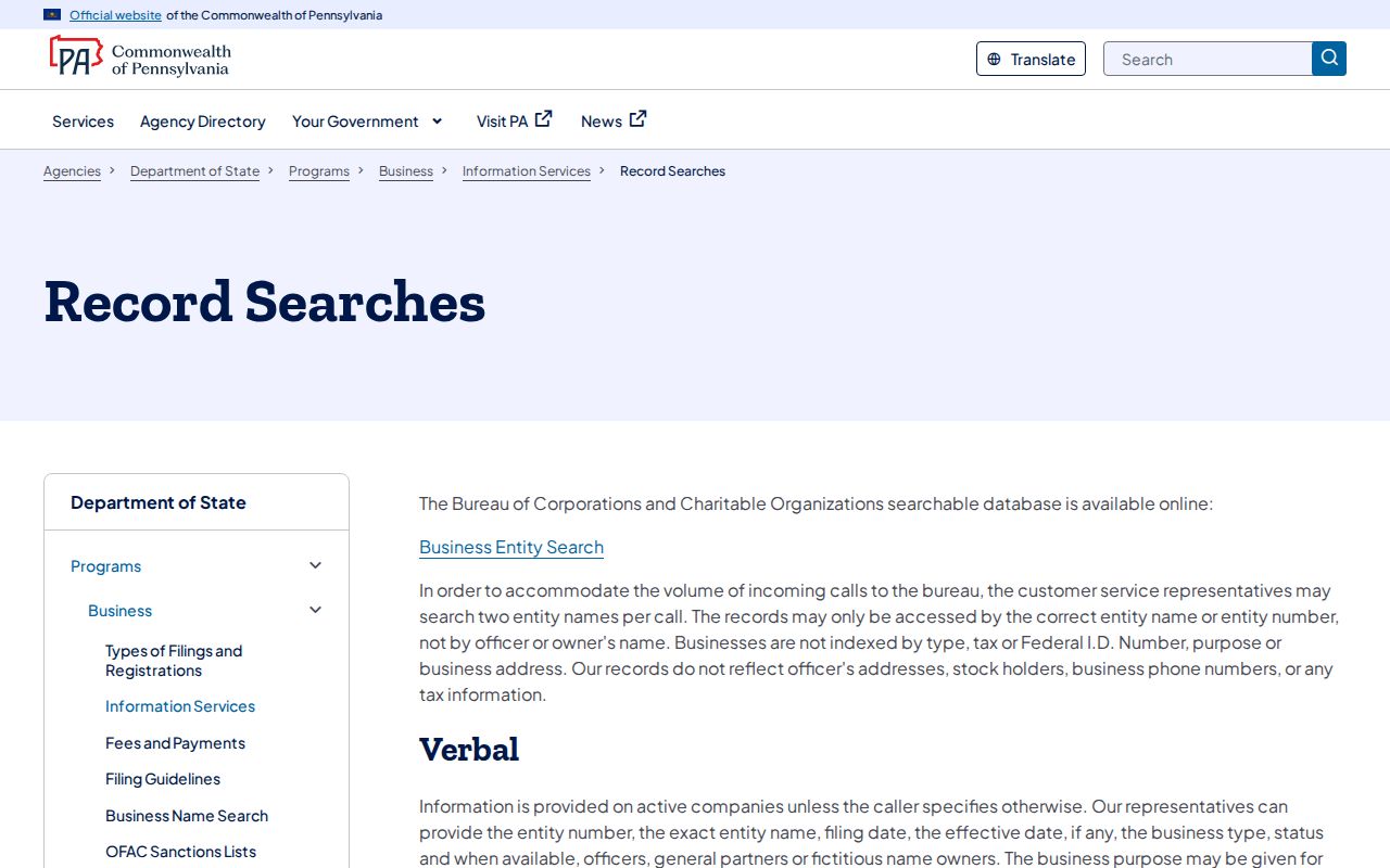
A known entity record can corroborate a filing fact, but it cannot be used to fill gaps in an Upper St. Clair block search. Match the source to the question and verify consequential information with the relevant custodian.
Privacy Limits for Upper St. Clair Neighbors
Many details around a block remain private. Parcel systems do not reliably identify every relative, visitor, service recipient, or other person connected with a dwelling. Medical, school, utility, delivery, motor-vehicle, and private communications information have separate confidentiality rules. Pennsylvania’s Address Confidentiality Program can give eligible participants a substitute address for voter registration, court and state records, vehicle records, school records, marriage licenses, and utility bills.
The Commonwealth’s Megan’s Law public-information site carries an official warning about misuse of registry material.
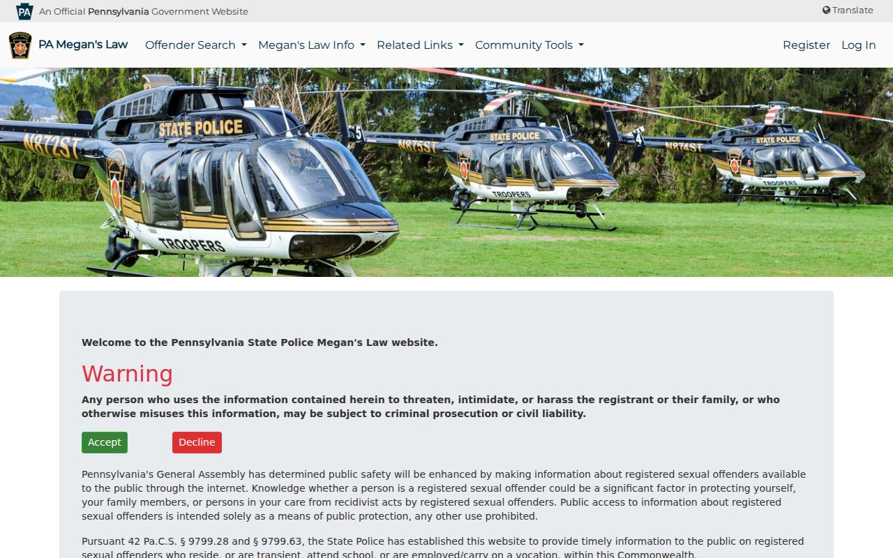
The registry is a public-safety source with its own limits. It does not authorize threats, intimidation, harassment, or a broader search for people on a block.
The agency’s Megan’s Law FAQ gives the more detailed use warning.
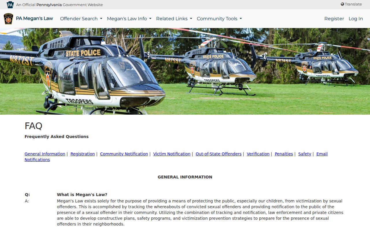
Public-record access never removes Pennsylvania’s stalking and harassment prohibitions. A missing record can be a safety protection, a sealed or redacted record, an indexing difference, or a coverage limit rather than an invitation to look elsewhere.
Lawful personal use. Use Upper St. Clair neighbor research for property-boundary questions, local history, civic transparency, and personal safety awareness. Do not use public information to monitor, threaten, harass, or intimidate another person, and do not redistribute protected information.
Upper St. Clair Neighbor Search Limits
A no-match should narrow the next step, not create a broader personal search. Recheck the house number, street name without its suffix, municipality selection, and parcel ID. Compare the physical situs with owner and tax mailing fields. For a historic question, search the plan, road, farm, or older St. Clair Township geography. For a boundary map, ask the County office for the adjacent-property route. For local history, send the library or Historical Society a specific place and time window.
The Pennsylvania Department of Corrections Inmate and Parolee Locator illustrates why a statewide database should not be used as a block tool.
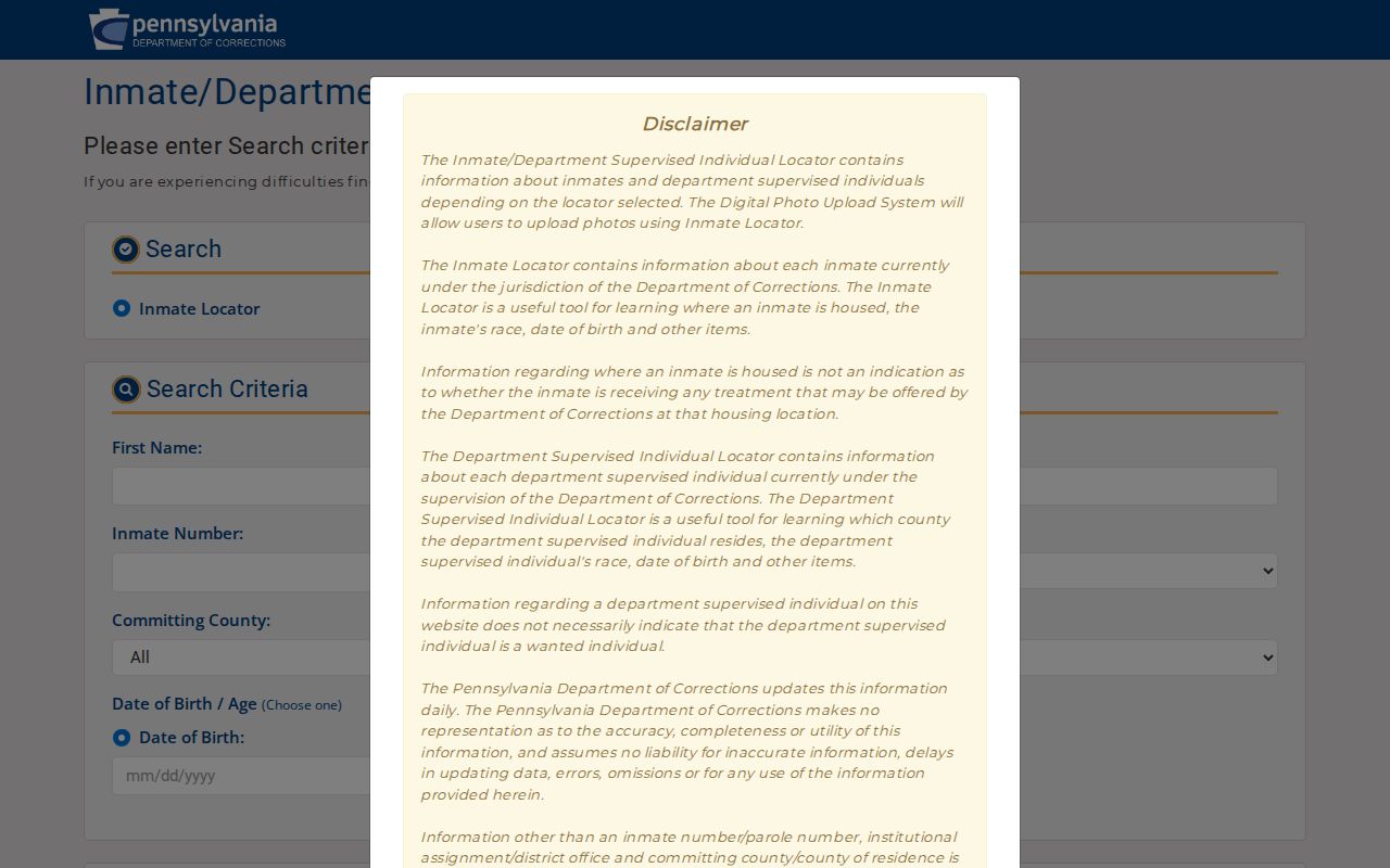
The locator is for state-sentenced inmates and parolees, refreshes daily, and excludes county facilities and people held in another state. It cannot confirm a person’s connection to an Upper St. Clair property. For deceptive mailers or identity concerns, use the Pennsylvania Attorney General consumer-protection resources instead.
Preserve the message or solicitation, then verify it through an official contact rather than the callback supplied in the communication. The County’s property-fraud resources and copy desk are safer verification paths for an unexpected property-record change.